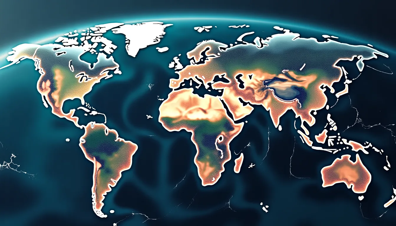
Google shut down a freshly launched Earth AI feature less than a day after it went live, after users and critics pointed out an obvious problem: the tool made it trivially easy to overlay synthetic, AI-generated imagery onto actual satellite maps of real-world locations. The result was realistic-looking composites that could misrepresent what a place actually looks like.
The core issue isn't just aesthetic. When AI-generated content is anchored to verified geographic data — real coordinates, real terrain — it gains a layer of false credibility that pure deepfakes lack. Someone could fabricate imagery of a military installation, a disaster zone, or a construction site and have it appear grounded in cartographic reality. That's a meaningfully higher-risk category than a standalone generated image.

Google's rapid reversal suggests the internal review process didn't fully stress-test the misuse potential before launch — a recurring pattern with generative AI features shipped at speed. The feature was live long enough to draw public attention but not long enough for Google to respond with guardrails or a modified version.
For builders working with geospatial data or map APIs, this episode is a useful reminder: any tool that fuses generative AI output with authoritative real-world data sources needs adversarial testing before it ships. The question to ask isn't just "what can users create?" but "what's the most damaging thing a bad actor could plausibly produce with this?"
Google hasn't confirmed whether the feature will return in a revised form. Given the sensitivity of location-based misinformation — particularly in geopolitical and disaster-response contexts — any relaunch will likely require meaningful content restrictions or verification layers to avoid a repeat backlash.